No Money Mondays: Flying The Hump
May 29, 2023
Community

Good Memorial Day to those of us in the United States! Memorial Day is a holiday that pays tribute to those who have fallen and served in our armed forces. This honorable Monday takes us back to 1945, the last critical year of World War II, when Allied pilots flew over the Himalayas from India to China. These routes are known as "The Hump" and were used to supply China's defensive war efforts against the Japanese invasion. This was one of the most dangerous aviation feats of the war, resulting in over 19,000 aircraft losses and the deaths of hundreds of pilots. Pilots had to fly in all weather conditions, at night, over thousands of peaks in the Himalayas to avoid Japanese fighters. The routes were grueling, long, uncertain, and treacherous. Flying over the unforgiving terrain made for unpredictable flights due to sudden weather changes. In the event of an emergency, such as engine failure or losing course in the clouds or at night, the consequences were deadly. A forced landing in such terrain was almost impossible to survive. The cold weather and inhospitable terrain further decreased the chances of survival.

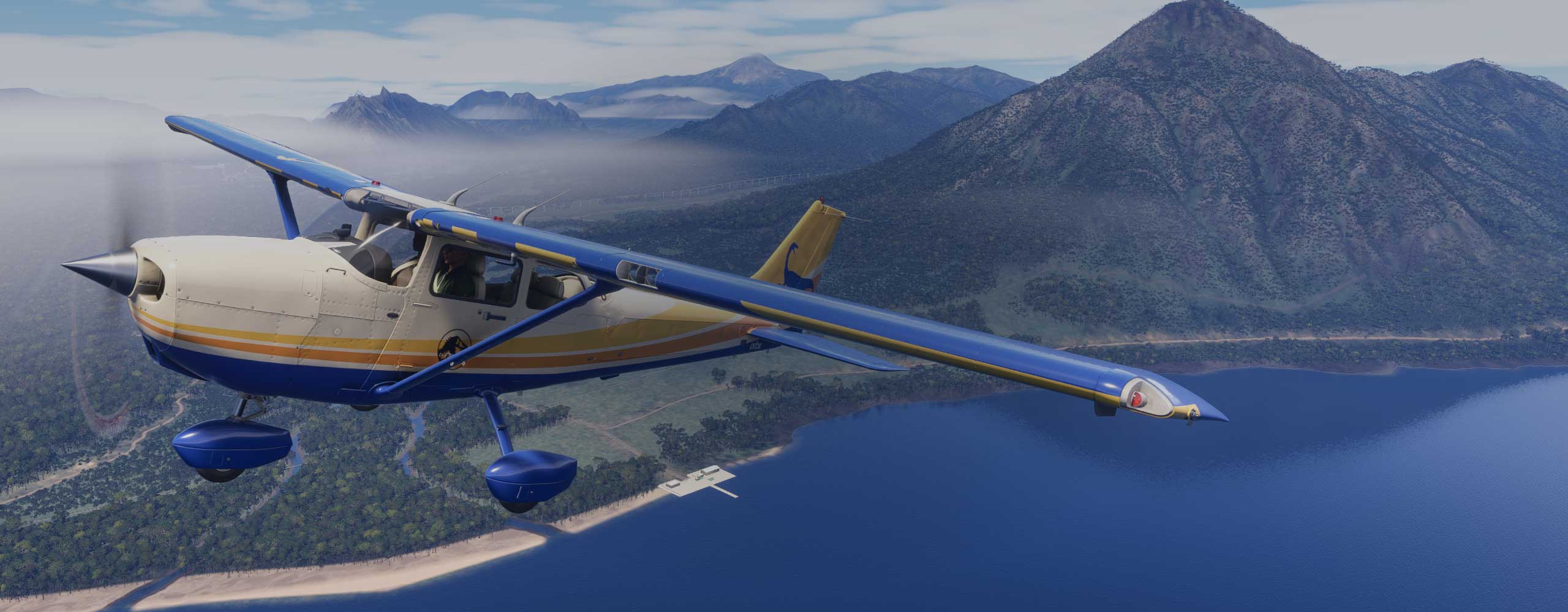
Today, we have the opportunity to virtually experience the perils faced by these pilots. Apollon01 has recreated the routes and airfields used to shuttle supplies throughout the area. Apollon has recreated fifty-eight different airfields, including details like vehicles, static aircraft, and barracks. Air route maps and a Google map are provided, allowing you to easily navigate your way through the Himalayas and recreate the conditions our brave pilots faced in real life. Additionally, information is provided on how to fly the routes, along with maps and approach charts. In addition to navigating "The Hump," radio range navigation beacons are located throughout the scenery to enhance the original navigational procedures. Apollon has listed the RRN stand-alone mod by ElectronVolt to assist with navigation. Visually, the scenery is optimized for ORBX Himalaya and Central Asia mesh, but it also works fine with the default MSFS scenery.


The addon package is listed here at flightsim.to, Installation is simple for MSFS as usual by dragging and dropping the files into your community folder. If you need help locating that folder try referring to this guide on flightsim.to . The file size is about 700mb. There are additional steps files that help with making the scenery addon complete below, they can also be found on the actual download page.
· CBIXv1 from Alex D. Nicolson - Original files for FSX. The zip contains also useful maps and approach charts and other info. (AvSim)
·DC-3 Airways Virtual Airline “Hump” charter - At the bottom of this charter webpage is a link to a file that contains useful information well worth consulting when flying over the Hump, including a detailed description of how to fly each route.
·Assam-Bengal-China Air Routes - Maps of the original Hump airlift routes together with relevant nav information. Check also the homepage as the website is a great source of CBI Theater related information.
·And of course there is countless articles, accounts, books and videos about the Hump online.
I recommend checking out this documentary, which I enjoyed before discovering this excellent free add-on! Overall, this is a great package that will keep you entertained with a flying challenge for hours and provide an opportunity to remember and learn about a piece of World War II aviation history on this important day for those who have served in the armed forces around the world. Most of all, thanks to all those who have served in the armed forces!
The Hump Route: The Deathly WW2 Airspace Above The Himalayas By the Timeline Channel
Share this page


COMMENT ADVISORY:
Threshold encourages informed discussion and debate - though this can only happen if all commenters remain civil when voicing their opinions.


.webp)