No Money Mondays - GeoReality's Global Forests Alaska + Interview
January 21, 2020
Community
Trees and forestry in X-Plane 11 are a relatively new market for payware developers, with the first addons made popular by existing airport designers such as MisterX6 and Orbx, who expanded their already large scenery portfolio into the market in late 2019, with the release of TerraFlora XP.
Though for the longest time we went without a dedicated developer focusing on trees and and forestry addons for Laminar's sim. Enter GeoReality, who burst onto the scene with the release of Global Forests Europe in November 2019. It used real-world scanning to produce accurate forest placement and variation. Global Forests uses its own textures, thus overwriting any other tree addons installed.
Though the European pack is payware addon, the team quickly followed up with Global Forests Alaska, which is free. This is what we're going to be having a look at today, in addition to gaining some insight from GeoReality's head developer John in a Threshold exclusive interview.


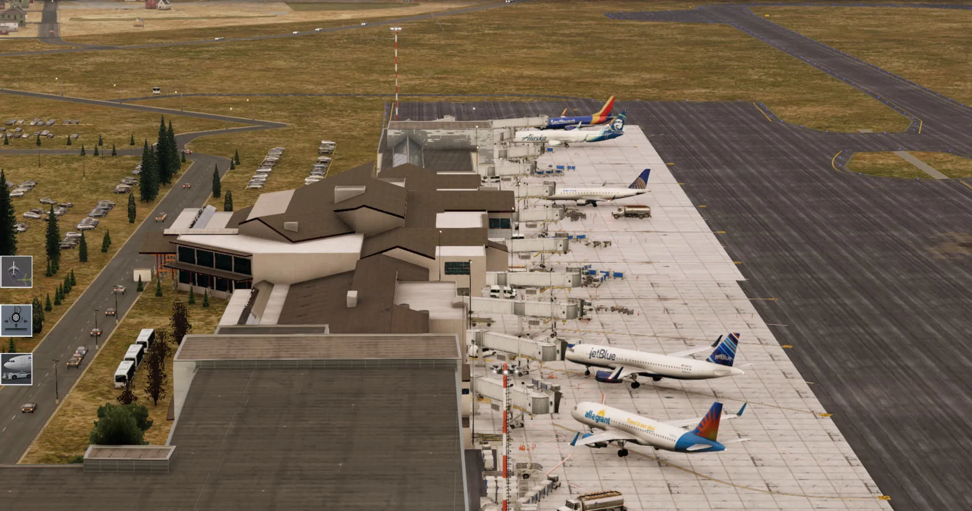
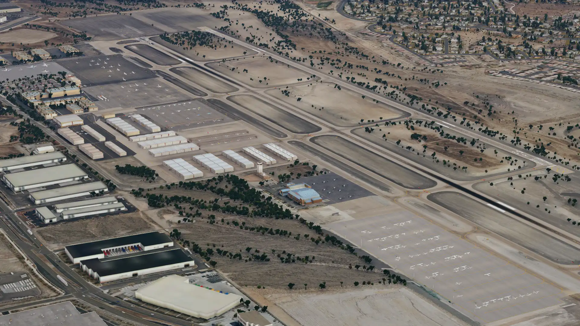
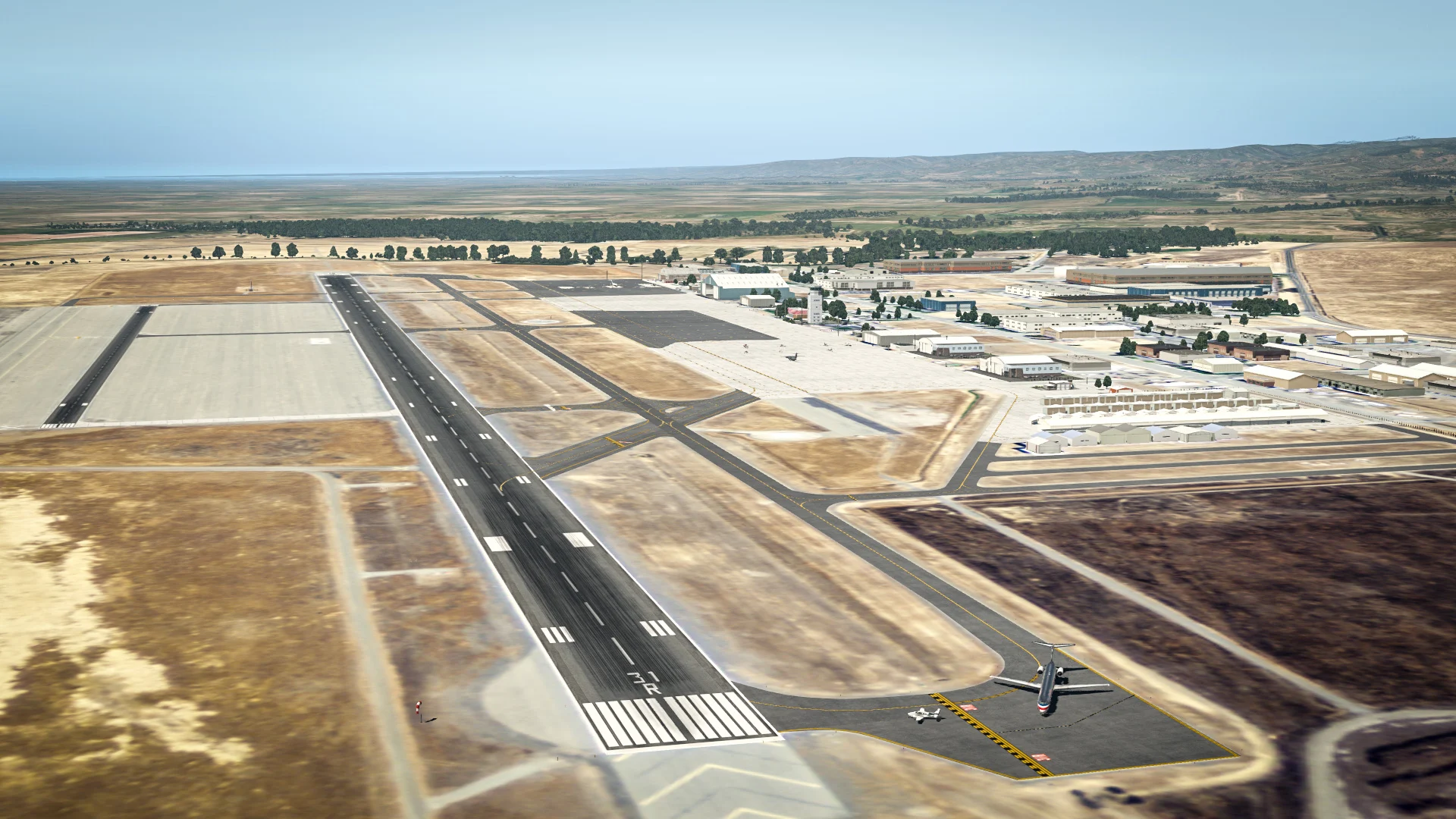
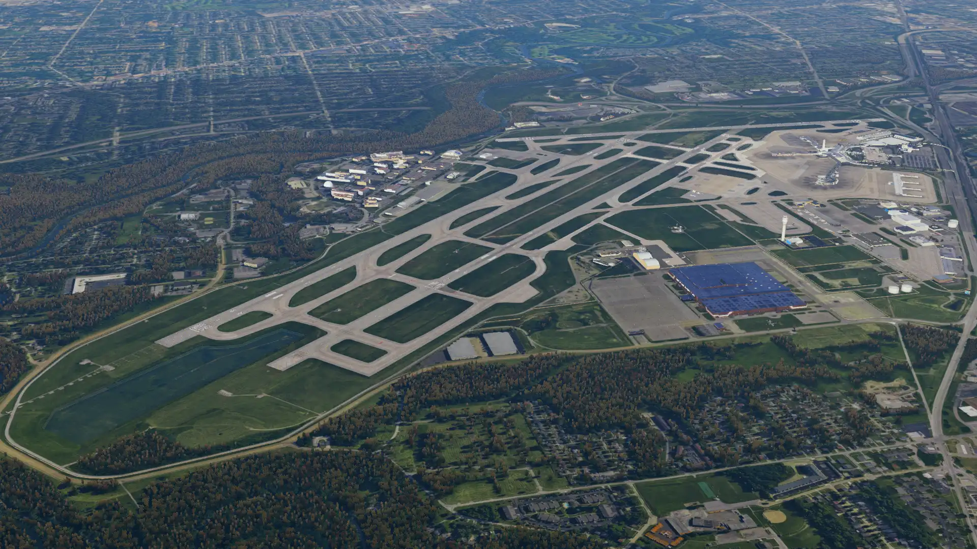
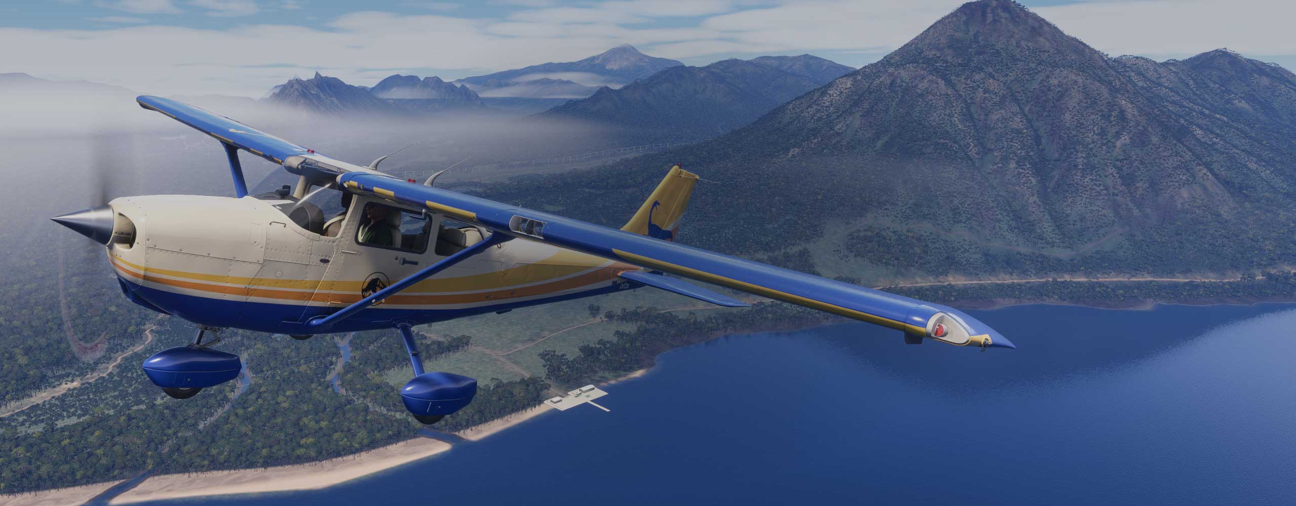
But first, the scenery itself. Global Forests Alaska comes in a 1.3GB zipped file and has a handy installer which asks for your root X-Plane folder and does the installation job for you. Once that was done, I booted up the sim to have a look around Fairbanks International - being in Alaska, far from the more resource intensive sceneries, I loaded in half the time compared to that of New York or even smaller European cities like Cologne.
I very much recommend you use a medium or high object setting in order to get the most out of these trees, as the density on the more intense setting is really quite realistic. Note that I'm not using any orthophotos here, however, the experience is magnified while using satellite imagery. I'll leave you with some screenshots of the product in action, while we chat to the developer - so without further ado, John, welcome to Threshold!
GeoReality is still a rather new name on the block - would you care to give the readers a short introduction to who you are and what you do? Where did you start your journey developing for flight simulators?
We are designing airport addons across all flight simulator platforms for quite some time now, some of which you will know very well. However, Global Forests is a completely different type of product, and to be consistent with this we decided to brand it under a new company name, which will have products specializing in Geospatial data. We're fans of X-Plane and its coding environment, but always wanted to give a special treatment to trees, as we think that what is currently available doesn’t give the feeling that you would get as a pilot in real-life. After all, natural forests cover about 30% of the land on earth, so they deserve to look as real as possible in every simulator.
You say that the trees/foliage in your sceneries come from real-world scans of the Earth, and are subsequently analysed to best create the forest effect in simulator - how is it done?
The initial source of forests is NDVI (normalized difference vegetation index) global maps. These maps are further processed through additional global density maps, height, maps, landclass maps. All have the same quality everywhere on earth. As a result, so far we have (for Europe only) about 16GB of uncompressed tree polygons data, and over 7000 forest types (also known as .for in XPlane language), each one with its own tree combination from these maps and its place on earth (northern, south hemisphere, east, west, tropical,subtropical etc).
This gives a realistic variety of tree forests and accurate world placement. This is not 100% perfect because the final addon’s size should be realistic, so we tried to give the best result having in mind the final data’s size in disk and performance. So, the placement could be much more accurate, but this would result in significantly larger number of polygons, and that would be translated in terabytes of data. Also, someone would say that the tree textures are not of high definition quality. But this was very well analyzed, and decision was taken in order to have the best visual result from 50ft and above, with minimal performance hit.
If you look at products covering specified limited areas (ie True Earth series), then you very high levels of accuracy because tree data have their source from vector maps for a specific region where these data are available. Global Forests comes very close to that level of quality and accuracy, but for the entire earth, including regions which would otherwise be left un-touched (eg. Asia, Africa etc)

As a follow up to that, what kind of software do you use for making these sceneries, and does it differ from the software used for traditional airport-making tools?
The production is based on our own tools, specifically made for this task. They include complex algorithms for analyzing, categorizing and placing trees across the globe. We started one year ago, with intense programming and testing. We have 10 servers running these tools and currently are compiling North America (Canada, USA, Mexico, Carribean, Guatemala, Costa Rica etc). Alaska, which will be in this volume is already finished and provided as freeware.
Currently you’ve got Europe and Alaska covered with realistic trees, with the US and Canada coming soon - do you plan on covering other continents past that? Will there ever be a time where the whole world is covered in these accurate, scanned trees?
We have the tools and the global data. Therefore, yes, the intention is to use both to cover the earth.


Young talent is a great thing to have in any industry. What advice do you have for anyone just starting out with X-Plane development?
I would give the same advice we give ourselves. Improvise.
What are your thoughts on the X-Plane community as a whole? Are we headed in a good direction at the moment?
Production in XP has always been slow because of the lack (still today) of a structured SDK. And I don’t believe we will ever see one. This can however have big implications, because it restricts development, which in turns restricts user interest in the sim and so on.
That said, the community has expanded greatly the last year or so, mainly because of the increased capabilities of XP11, which many developers are now learning how to take advantage of. I m hopeful for what’s coming to XP in the next months or a year.
As a follow up to that, what do you guys think of Microsoft’s new flight sim? Does your personal view differ from the one you hold in your capacities as an X-Plane developer?
The few minutes of video footage we have seen is looking excellent. But we can’t have a complete opinion unless we explore it and understand its capabilities and how it is addressing the issues and shortcomings we are facing with existing simulators. As an XPlane developer, nothing really changes, and we eagerly waiting for the new XPlane features to allow us to push the limits even further.

Thanks to John for giving such in-depth insight into his team's workload and compiling them into this interview.
You can download GeoReality's Global Forests Alaska for free over on the X-Plane.org Forum - alternatively, you can find an article on their latest product, Global Forests Volume 2: North America, here.
Share this page


COMMENT ADVISORY:
Threshold encourages informed discussion and debate - though this can only happen if all commenters remain civil when voicing their opinions.


.webp)